
Thank you for supporting this site ❤️
Make a donation
Make a donation
Portland topographic map
Click on the map to display elevation.
Thank you for supporting this site ❤️
Make a donation
Make a donation
About this map
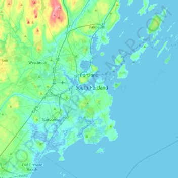
Name: Portland topographic map, elevation, terrain.
Location: Portland, Cumberland County, Maine, United States (43.54435 -70.34740 43.72770 -69.97585)
Average elevation: 16 m
Minimum elevation: -4 m
Maximum elevation: 149 m
Thank you for supporting this site ❤️
Make a donation
Make a donation