
Kennebunk topographic map
Interactive map
Click on the map to display elevation.
About this map
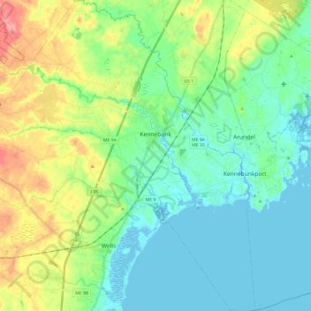
Name: Kennebunk topographic map, elevation, terrain.
Location: Kennebunk, York County, Maine, United States (43.28582 -70.67040 43.45801 -70.46954)
Average elevation: 27 m
Minimum elevation: -5 m
Maximum elevation: 94 m