
Duxbury topographic map
Interactive map
Click on the map to display elevation.
About this map
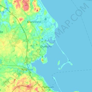
Name: Duxbury topographic map, elevation, terrain.
Location: Duxbury, Plymouth County, Massachusetts, USA (41.98746 -70.78138 42.09702 -70.52832)
Average elevation: 13 m
Minimum elevation: -1 m
Maximum elevation: 84 m