
Nanchong topographic map
Click on the map to display elevation.
About this map
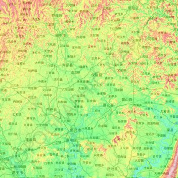
Name: Nanchong topographic map, elevation, terrain.
Location: Nanchong, Sichuan, China (30.46082 105.43752 31.85154 106.96111)
Average elevation: 422 m
Minimum elevation: 219 m
Maximum elevation: 1,084 m
Other topographic maps
Click on a map to view its topography, its elevation and its terrain.