
Malamulele topographic map
Click on the map to display elevation.
About this map
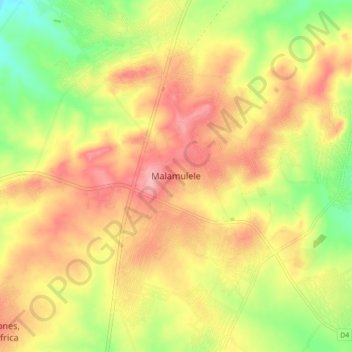
Name: Malamulele topographic map, elevation, terrain.
Average elevation: 542 m
Minimum elevation: 482 m
Maximum elevation: 590 m
Other topographic maps
Click on a map to view its topography, its elevation and its terrain.
Mutshindudi
South Africa > Limpopo > Vhembe District Municipality > Thulamela Local Municipality
The Mutshindudi River is a river in the Limpopo Province of South Africa, it originates in the Soutpansberg mountains. It is a right-hand tributary of the Levuvhu River. Its elevation is 534 metres above the sea level. It is about 50 km long and drops steeply from a high rain fall region at 1200m to a lowland…
Average elevation: 702 m
Nandoni Dam
South Africa > Limpopo > Vhembe District Municipality > Thulamela Local Municipality
Average elevation: 503 m
Mutale
South Africa > Limpopo > Vhembe District Municipality > Thulamela Local Municipality
Average elevation: 1,016 m
Nandoni Dam
South Africa > Limpopo > Vhembe District Municipality > Thulamela Local Municipality
Average elevation: 503 m