
Bisley topographic map
Click on the map to display elevation.
About this map
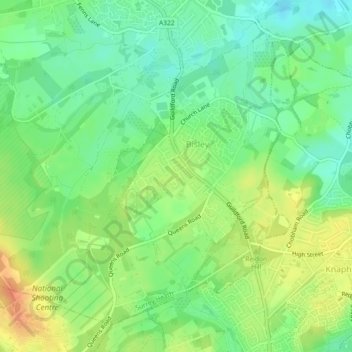
Name: Bisley topographic map, elevation, terrain.
Location: Bisley, Surrey Heath, Surrey, England, United Kingdom (51.31188 -0.65901 51.33594 -0.61339)
Average elevation: 46 m
Minimum elevation: 27 m
Maximum elevation: 70 m