
Thank you for supporting this site ❤️
Make a donation
Make a donation
Ahmedabad topographic map
Click on the map to display elevation.
Thank you for supporting this site ❤️
Make a donation
Make a donation
About this map
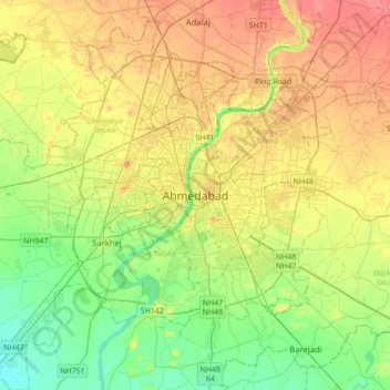
Name: Ahmedabad topographic map, elevation, terrain.
Location: Ahmedabad, Gujarat, 380001, India (22.86154 72.42006 23.18154 72.74006)
Average elevation: 50 m
Minimum elevation: 26 m
Maximum elevation: 77 m
Thank you for supporting this site ❤️
Make a donation
Make a donation
Other topographic maps
Click on a map to view its topography, its elevation and its terrain.