
Time topographic map
Interactive map
Click on the map to display elevation.
About this map
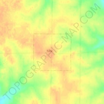
Name: Time topographic map, elevation, terrain.
Location: Time, Pike County, Illinois, United States of America (39.55636 -90.72969 39.56591 -90.71703)
Average elevation: 204 m
Minimum elevation: 179 m
Maximum elevation: 215 m