
Point GPS 48° Nord / 7° Est topographic map
Interactive map
Click on the map to display elevation.
About this map
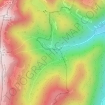
Name: Point GPS 48° Nord / 7° Est topographic map, elevation, terrain.
Average elevation: 954 m
Minimum elevation: 573 m
Maximum elevation: 1,301 m