
Prince Albert topographic map
Click on the map to display elevation.
About this map
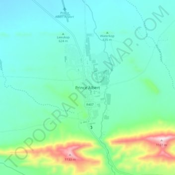
Name: Prince Albert topographic map, elevation, terrain.
Average elevation: 656 m
Minimum elevation: 524 m
Maximum elevation: 1,155 m
Other topographic maps
Click on a map to view its topography, its elevation and its terrain.
Prince Albert Ward 2
South Africa > Western Cape > Central Karoo District Municipality > Prince Albert Local Municipality
Average elevation: 888 m