
Tollerton topographic map
Interactive map
Click on the map to display elevation.
About this map
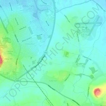
Name: Tollerton topographic map, elevation, terrain.
Average elevation: 39 m
Minimum elevation: 25 m
Maximum elevation: 90 m
Other topographic maps
Click on a map to view its topography, its elevation and its terrain.
Newton
United Kingdom > England > Nottinghamshire > Rushcliffe
Newton, Rushcliffe, Nottinghamshire, England, United Kingdom
Average elevation: 37 m