
Thank you for supporting this site ❤️
Make a donation
Make a donation
Fort Irwin topographic map
Click on the map to display elevation.
Thank you for supporting this site ❤️
Make a donation
Make a donation
Fort Irwin
Fort Irwin National Training Center (Fort Irwin NTC) is a major training area for the United States military in the Mojave Desert in northern San Bernardino County, California. Fort Irwin is at an average elevation of 2,454 feet (748 m). It is located 37 miles (60 km) northeast of Barstow, in the Calico Mountains.
Thank you for supporting this site ❤️
Make a donation
Make a donation
About this map
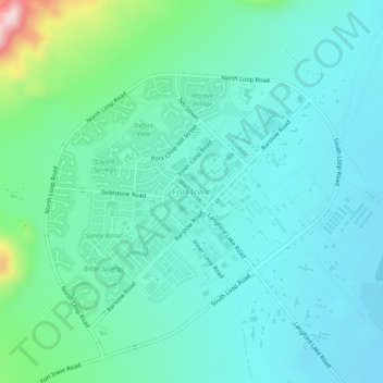
Name: Fort Irwin topographic map, elevation, terrain.
Average elevation: 785 m
Minimum elevation: 723 m
Maximum elevation: 1,059 m
Thank you for supporting this site ❤️
Make a donation
Make a donation
Other topographic maps
Click on a map to view its topography, its elevation and its terrain.