
Chaudfontaine topographic map
Interactive map
Click on the map to display elevation.
About this map
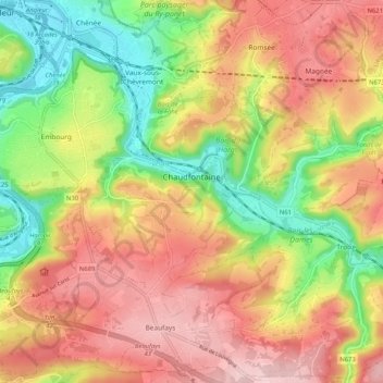
Name: Chaudfontaine topographic map, elevation, terrain.
Location: Chaudfontaine, Liège, Wallonia, 4050, Belgium (50.54959 5.58889 50.61490 5.68075)
Average elevation: 188 m
Minimum elevation: 62 m
Maximum elevation: 301 m