
Thank you for supporting this site ❤️
Make a donation
Make a donation
King Island Council topographic map
Click on the map to display elevation.
Thank you for supporting this site ❤️
Make a donation
Make a donation
About this map
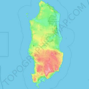
Name: King Island Council topographic map, elevation, terrain.
Location: King Island Council, Tasmania, Australia (-40.16220 143.81817 -39.57885 144.16430)
Average elevation: 14 m
Minimum elevation: 0 m
Maximum elevation: 159 m
Thank you for supporting this site ❤️
Make a donation
Make a donation