
Thank you for supporting this site ❤️
Make a donation
Make a donation
Batang Kali topographic map
Click on the map to display elevation.
Thank you for supporting this site ❤️
Make a donation
Make a donation
About this map
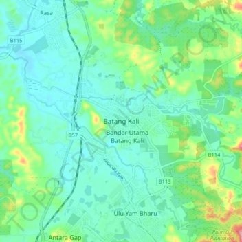
Name: Batang Kali topographic map, elevation, terrain.
Location: Batang Kali, Hulu Selangor, Selangor, 44300, Malaysia (3.42174 101.61305 3.50174 101.69305)
Average elevation: 64 m
Minimum elevation: 26 m
Maximum elevation: 193 m
Thank you for supporting this site ❤️
Make a donation
Make a donation
Other topographic maps
Click on a map to view its topography, its elevation and its terrain.