
Davenport topographic map
Interactive map
Click on the map to display elevation.
About this map
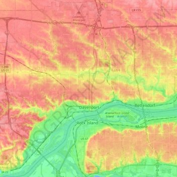
Name: Davenport topographic map, elevation, terrain.
Location: Davenport, Scott County, Iowa, USA (41.46048 -90.68793 41.62029 -90.49082)
Average elevation: 205 m
Minimum elevation: 155 m
Maximum elevation: 237 m