
Sudoeste Alentejano e Costa Vicentina Nature Park topographic map
Interactive map
Click on the map to display elevation.
About this map
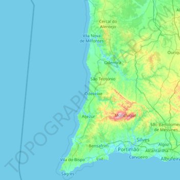
Name: Sudoeste Alentejano e Costa Vicentina Nature Park topographic map, elevation, terrain.
Average elevation: 67 m
Minimum elevation: -3 m
Maximum elevation: 894 m