
Al Aflaj topographic map
Click on the map to display elevation.
About this map
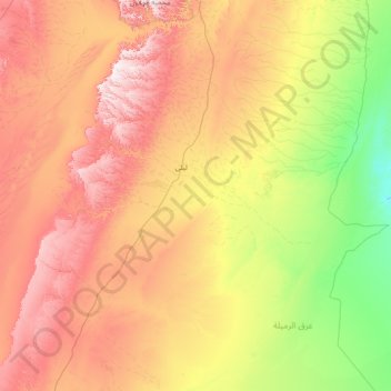
Name: Al Aflaj topographic map, elevation, terrain.
Location: Al Aflaj, Riyadh Region, Saudi Arabia (20.92760 45.35968 23.23609 48.25820)
Average elevation: 565 m
Minimum elevation: 268 m
Maximum elevation: 1,142 m
Other topographic maps
Click on a map to view its topography, its elevation and its terrain.