
Mals - Malles Venosta topographic map
Interactive map
Click on the map to display elevation.
About this map
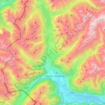
Name: Mals - Malles Venosta topographic map, elevation, terrain.
Average elevation: 2,047 m
Minimum elevation: 859 m
Maximum elevation: 3,437 m