
Fairland topographic map
Interactive map
Click on the map to display elevation.
About this map
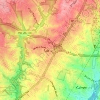
Name: Fairland topographic map, elevation, terrain.
Location: Fairland, Montgomery County, Maryland, 20909, USA (39.05123 -76.98122 39.10604 -76.92379)
Average elevation: 113 m
Minimum elevation: 50 m
Maximum elevation: 160 m