
Kayole Drain topographic map
Interactive map
Click on the map to display elevation.
About this map
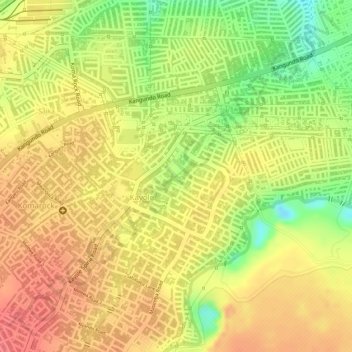
Name: Kayole Drain topographic map, elevation, terrain.
Location: Kayole Drain, Nairobi, 6818, Kenya (-1.26577 36.91876 -1.26299 36.92087)
Average elevation: 1,587 m
Minimum elevation: 1,543 m
Maximum elevation: 1,611 m