
Belville topographic map
Interactive map
Click on the map to display elevation.
About this map
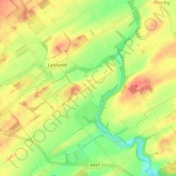
Name: Belville topographic map, elevation, terrain.
Location: Belville, Scottish Borders, Scotland, TD12 4JB, United Kingdom (55.66529 -2.34324 55.70529 -2.30324)
Average elevation: 62 m
Minimum elevation: 31 m
Maximum elevation: 89 m