
Dharshanapura topographic map
Interactive map
Click on the map to display elevation.
About this map
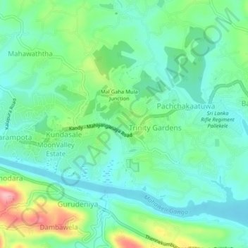
Name: Dharshanapura topographic map, elevation, terrain.
Average elevation: 471 m
Minimum elevation: 427 m
Maximum elevation: 584 m
Other topographic maps
Click on a map to view its topography, its elevation and its terrain.
Pallekele Kandy New Prison
Sri Lanka > Central Province > Dharshanapura
Pallekele Kandy New Prison, Ayurveda Hospital Road, Pallekele, Dharshanapura, Kandy District, Central Province, 60622, Sri Lanka
Average elevation: 470 m