
Long Island topographic map
Interactive map
Click on the map to display elevation.
About this map
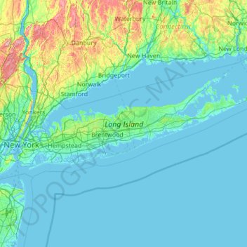
Name: Long Island topographic map, elevation, terrain.
Location: Long Island, Ronkonkoma, Suffolk County, New York, USA (40.54233 -74.04197 41.16116 -71.85619)
Average elevation: 43 m
Minimum elevation: -5 m
Maximum elevation: 498 m