
Saint Croix topographic map
Interactive map
Click on the map to display elevation.
About this map
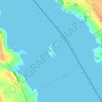
Name: Saint Croix topographic map, elevation, terrain.
Location: Saint Croix, Maine, USA (45.12688 -67.13441 45.12985 -67.13262)
Average elevation: 6 m
Minimum elevation: -1 m
Maximum elevation: 50 m
Other topographic maps
Click on a map to view its topography, its elevation and its terrain.