
Sherwood topographic map
Interactive map
Click on the map to display elevation.
About this map
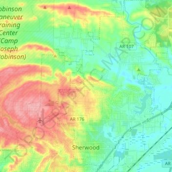
Name: Sherwood topographic map, elevation, terrain.
Location: Sherwood, Pulaski County, Arkansas, 72120, United States (34.79949 -92.24622 34.90834 -92.16135)
Average elevation: 108 m
Minimum elevation: 67 m
Maximum elevation: 178 m