
Brady topographic map
Interactive map
Click on the map to display elevation.
About this map
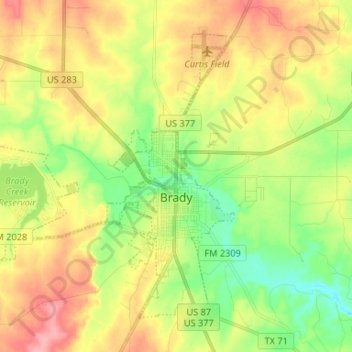
Name: Brady topographic map, elevation, terrain.
Location: Brady, McCulloch County, Texas, 76825, USA (31.09289 -99.44482 31.18405 -99.31310)
Average elevation: 536 m
Minimum elevation: 492 m
Maximum elevation: 585 m