
Trøndelag topographic map
Interactive map
Click on the map to display elevation.
About this map
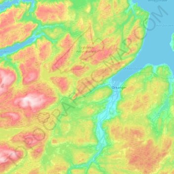
Name: Trøndelag topographic map, elevation, terrain.
Location: Orkdal, Trøndelag, Norway (63.14389 9.34300 63.46605 10.05412)
Average elevation: 280 m
Minimum elevation: -3 m
Maximum elevation: 846 m
Other topographic maps
Click on a map to view its topography, its elevation and its terrain.