
Donington topographic map
Interactive map
Click on the map to display elevation.
About this map
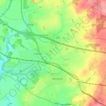
Name: Donington topographic map, elevation, terrain.
Location: Donington, Shropshire, West Midlands, England, United Kingdom (52.63385 -2.32614 52.66368 -2.23471)
Average elevation: 101 m
Minimum elevation: 61 m
Maximum elevation: 156 m