
Heusden-Zolder topographic map
Interactive map
Click on the map to display elevation.
About this map
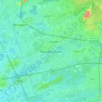
Name: Heusden-Zolder topographic map, elevation, terrain.
Location: Heusden-Zolder, Hasselt, Limburg, Flanders, 3550, Belgium (50.97517 5.22397 51.07254 5.35685)
Average elevation: 38 m
Minimum elevation: 19 m
Maximum elevation: 142 m