
Port Saint John topographic map
Interactive map
Click on the map to display elevation.
About this map
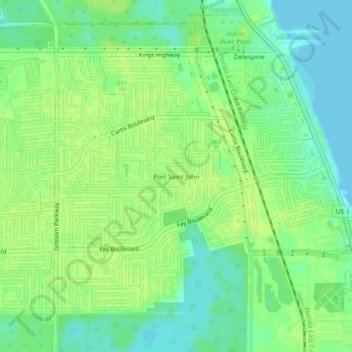
Name: Port Saint John topographic map, elevation, terrain.
Average elevation: 9 m
Minimum elevation: -1 m
Maximum elevation: 15 m
Other topographic maps
Click on a map to view its topography, its elevation and its terrain.
Viera
United States > Florida > Brevard County
Viera, Brevard County, Florida, 32940, United States
Average elevation: 9 m