
Begha topographic map
Interactive map
Click on the map to display elevation.
About this map
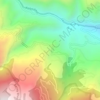
Name: Begha topographic map, elevation, terrain.
Location: Begha, West District, West Sikkim District, Sikkim, India (27.24983 88.10997 27.26983 88.12997)
Average elevation: 1,680 m
Minimum elevation: 1,275 m
Maximum elevation: 2,262 m
Other topographic maps
Click on a map to view its topography, its elevation and its terrain.
South Lhonak Glacier
India > Sikkim > Chungthang
South Lhonak Glacier, Chungthang, Mangan District, Sikkim, India
Average elevation: 5,830 m
North District
North District, North Sikkim District, Sikkim, India
Average elevation: 3,842 m
South District
South District, South Sikkim District, Sikkim, India
Average elevation: 2,676 m