
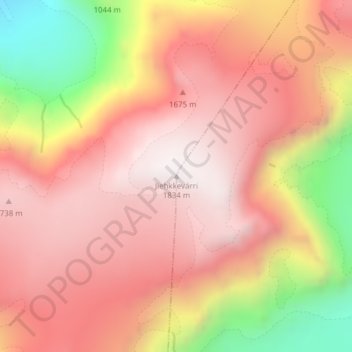
Jiehkkevarri topographic map
Interactive map
Click on the map to display elevation.
About this map
Name: Jiehkkevarri topographic map, elevation, terrain.
Location: Jiehkkevarri, Tromsø, Troms, Norway (69.46912 19.87745 69.46922 19.87755)
Average elevation: 1,341 m
Minimum elevation: 517 m
Maximum elevation: 1,831 m
Other topographic maps
Click on a map to view its topography, its elevation and its terrain.