
Okstindbreen topographic map
Interactive map
Click on the map to display elevation.
About this map
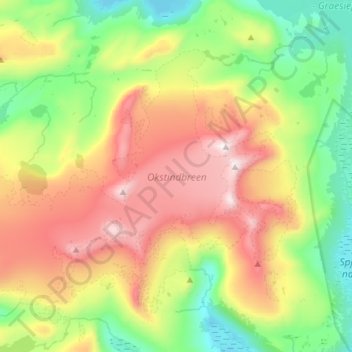
Name: Okstindbreen topographic map, elevation, terrain.
Location: Okstindbreen, Hemnes, Nordland, Norway (65.96159 14.06773 66.04681 14.35676)
Average elevation: 1,058 m
Minimum elevation: 521 m
Maximum elevation: 1,902 m
Other topographic maps
Click on a map to view its topography, its elevation and its terrain.