
Day County topographic map
Interactive map
Click on the map to display elevation.
About this map
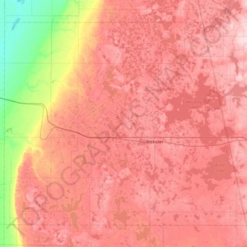
Name: Day County topographic map, elevation, terrain.
Location: Day County, South Dakota, United States of America (45.15120 -97.98165 45.58921 -97.22511)
Average elevation: 530 m
Minimum elevation: 392 m
Maximum elevation: 618 m
Other topographic maps
Click on a map to view its topography, its elevation and its terrain.
Gregory County
United States of America > South Dakota
Gregory County, South Dakota, United States of America
Average elevation: 564 m
Yankton County
United States of America > South Dakota
Yankton County, South Dakota, United States of America
Average elevation: 405 m