
Wangyao topographic map
Interactive map
Click on the map to display elevation.
About this map
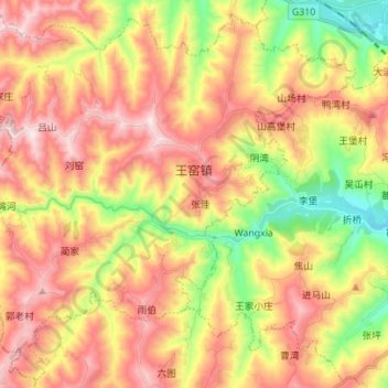
Name: Wangyao topographic map, elevation, terrain.
Location: Wangyao, Qin'an County, Tianshui, Gansu, PRC (34.82957 105.47657 34.93318 105.61544)
Average elevation: 1,550 m
Minimum elevation: 1,237 m
Maximum elevation: 1,836 m