
Monte Nuria topographic map
Interactive map
Click on the map to display elevation.
About this map
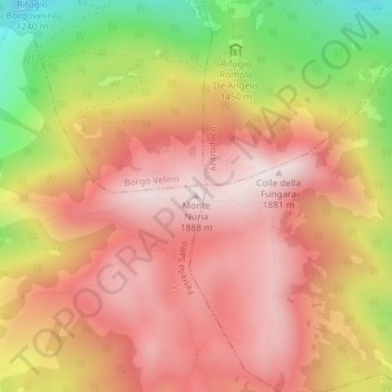
Name: Monte Nuria topographic map, elevation, terrain.
Location: Monte Nuria, Petrella Salto, RI, Latium, Italie (42.36028 13.08564 42.36038 13.08574)
Average elevation: 1,630 m
Minimum elevation: 1,213 m
Maximum elevation: 1,885 m