
Welch topographic map
Interactive map
Click on the map to display elevation.
About this map
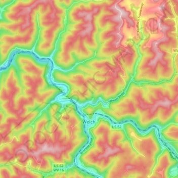
Name: Welch topographic map, elevation, terrain.
Location: Welch, McDowell County, West Virginia, 24801, USA (37.41142 -81.61122 37.47960 -81.53677)
Average elevation: 548 m
Minimum elevation: 373 m
Maximum elevation: 689 m