
Slavasshøgda topographic map
Interactive map
Click on the map to display elevation.
About this map
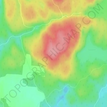
Name: Slavasshøgda topographic map, elevation, terrain.
Location: Slavasshøgda, Rømskog, Østfold, Norway (59.68456 11.73196 59.68466 11.73206)
Average elevation: 270 m
Minimum elevation: 215 m
Maximum elevation: 335 m
Other topographic maps
Click on a map to view its topography, its elevation and its terrain.