
Victoria West topographic map
Interactive map
Click on the map to display elevation.
About this map
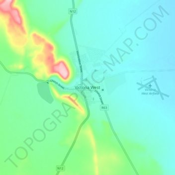
Name: Victoria West topographic map, elevation, terrain.
Average elevation: 1,290 m
Minimum elevation: 1,250 m
Maximum elevation: 1,443 m
Victoria West is a town in the central Karoo region of South Africa's Northern Cape province. It is situated on the main N12 route, at an elevation of 1,300 metres (4,300 ft). It is the seat of the Ubuntu Local Municipality within the Pixley ka Seme District Municipality.