
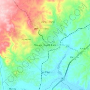
Stanger / KwaDukuza topographic map
Interactive map
Click on the map to display elevation.
About this map
Name: Stanger / KwaDukuza topographic map, elevation, terrain.
Average elevation: 96 m
Minimum elevation: 4 m
Maximum elevation: 286 m
Other topographic maps
Click on a map to view its topography, its elevation and its terrain.
KwaDukuza Ward 6
South Africa > KwaZulu-Natal > iLembe District Municipality > KwaDukuza Local Municipality
Average elevation: 45 m