
Breede River topographic map
Interactive map
Click on the map to display elevation.
About this map
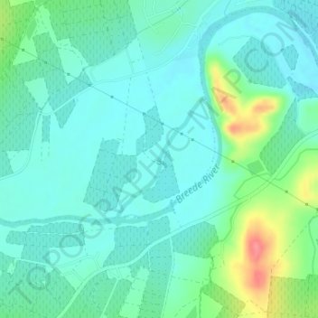
Name: Breede River topographic map, elevation, terrain.
Average elevation: 170 m
Minimum elevation: 152 m
Maximum elevation: 229 m
Other topographic maps
Click on a map to view its topography, its elevation and its terrain.
Montagu
South Africa > Western Cape > Cape Winelands District Municipality > Langeberg Local Municipality
Average elevation: 434 m
McGregor
South Africa > Western Cape > Cape Winelands District Municipality > Langeberg Local Municipality
Average elevation: 314 m