
Goree topographic map
Interactive map
Click on the map to display elevation.
About this map
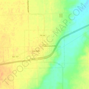
Name: Goree topographic map, elevation, terrain.
Location: Goree, Knox County, Texas, 76363, United States (33.44998 -99.54355 33.48998 -99.50355)
Average elevation: 439 m
Minimum elevation: 419 m
Maximum elevation: 451 m