
Corby topographic map
Interactive map
Click on the map to display elevation.
About this map
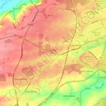
Name: Corby topographic map, elevation, terrain.
Average elevation: 109 m
Minimum elevation: 51 m
Maximum elevation: 139 m
Other topographic maps
Click on a map to view its topography, its elevation and its terrain.
Rushden
United Kingdom > England > North Northamptonshire
Rushden, North Northamptonshire, England, United Kingdom
Average elevation: 77 m