
Ashton topographic map
Interactive map
Click on the map to display elevation.
About this map
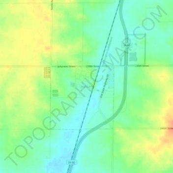
Name: Ashton topographic map, elevation, terrain.
Location: Ashton, Osceola County, Iowa, 51232, United States (43.29129 -95.81095 43.33129 -95.77095)
Average elevation: 451 m
Minimum elevation: 434 m
Maximum elevation: 472 m