
Lotlhakane topographic map
Interactive map
Click on the map to display elevation.
About this map
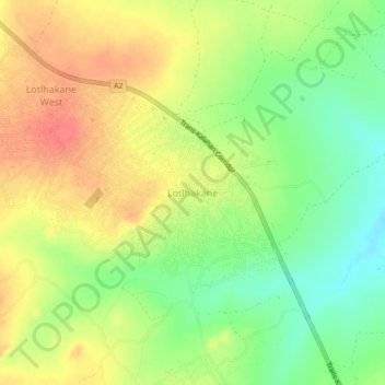
Name: Lotlhakane topographic map, elevation, terrain.
Location: Lotlhakane, Southern District, Botswana (-25.10552 25.43880 -25.06552 25.47880)
Average elevation: 1,188 m
Minimum elevation: 1,156 m
Maximum elevation: 1,217 m