
Ngotwane River topographic map
Interactive map
Click on the map to display elevation.
About this map
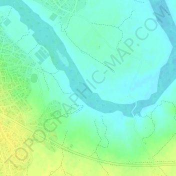
Name: Ngotwane River topographic map, elevation, terrain.
Location: Ngotwane River, Mochudi, Kgatleng District, 721, Botswana (-24.40530 26.17940 -24.40053 26.18419)
Average elevation: 937 m
Minimum elevation: 928 m
Maximum elevation: 951 m