
Evander topographic map
Interactive map
Click on the map to display elevation.
About this map
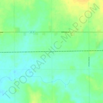
Name: Evander topographic map, elevation, terrain.
Location: Evander, O'Brien County, Iowa, United States of America (43.15856 -95.78255 43.19856 -95.74255)
Average elevation: 433 m
Minimum elevation: 423 m
Maximum elevation: 448 m