
Broxburn topographic map
Interactive map
Click on the map to display elevation.
About this map
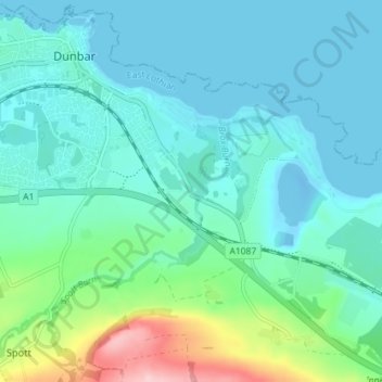
Name: Broxburn topographic map, elevation, terrain.
Location: Broxburn, East Lothian, Scotland, EH42 1QN, United Kingdom (55.96793 -2.51392 56.00793 -2.47392)
Average elevation: 33 m
Minimum elevation: -13 m
Maximum elevation: 178 m