
Thaba Bosiu topographic map
Interactive map
Click on the map to display elevation.
About this map
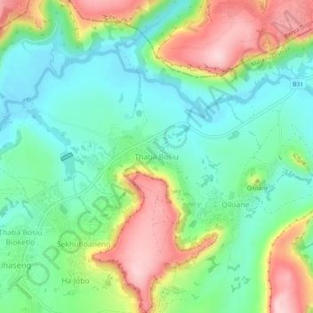
Name: Thaba Bosiu topographic map, elevation, terrain.
Location: Thaba Bosiu, Maseru District, Lesotho (-29.36510 27.65134 -29.32510 27.69134)
Average elevation: 1,625 m
Minimum elevation: 1,539 m
Maximum elevation: 1,779 m